Atlantic Canada Lighthouses
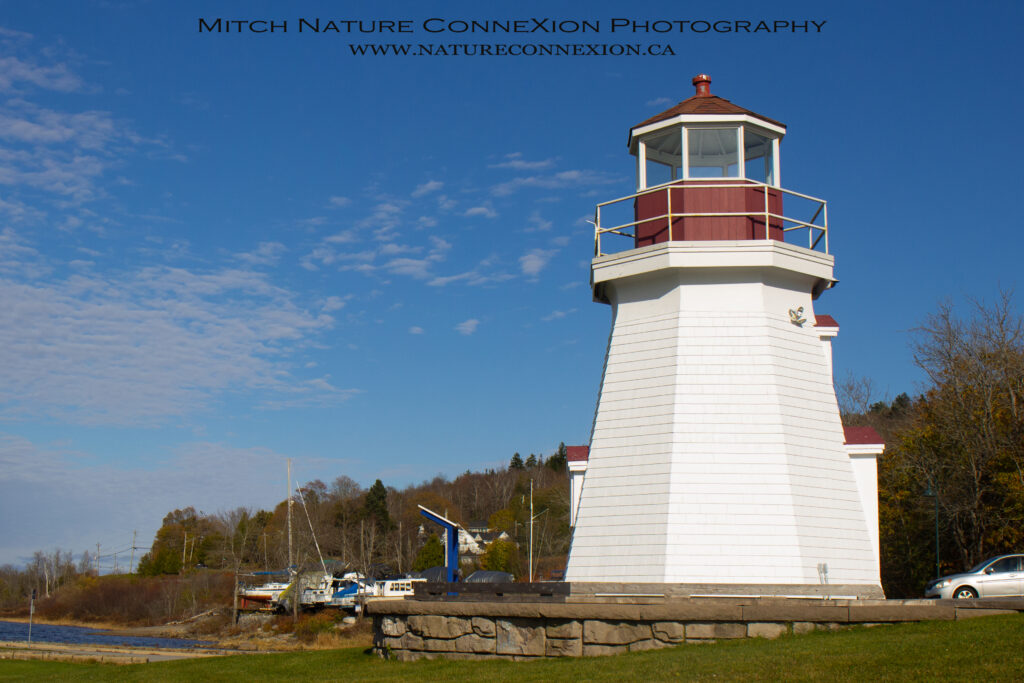
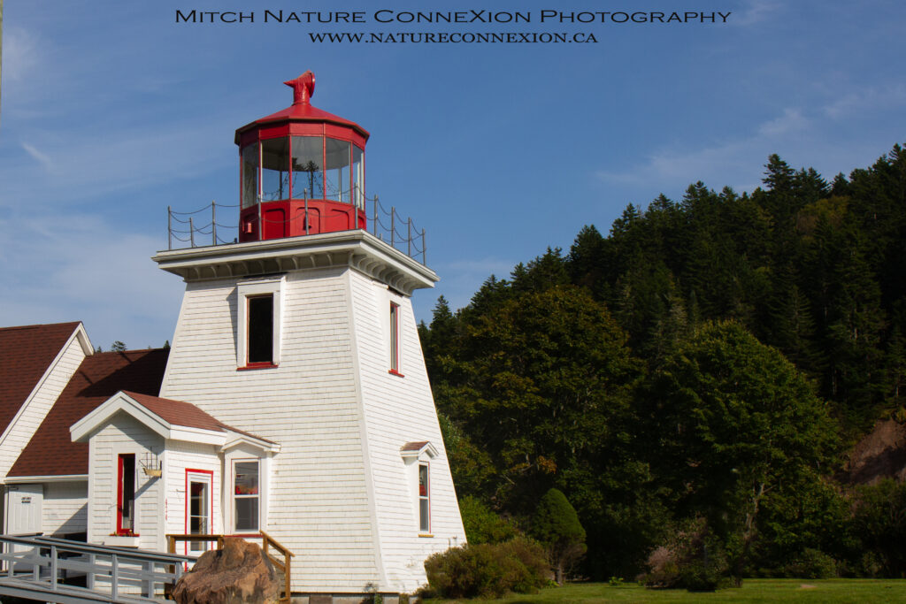
All the lighthouses observed in Atlantic Canada over the years with lots of photos and info on each one of them.
Over 70 Lighthouses visited so far!
Please enter your comments, questions, or feedback below, Thank you!
New Brunswick
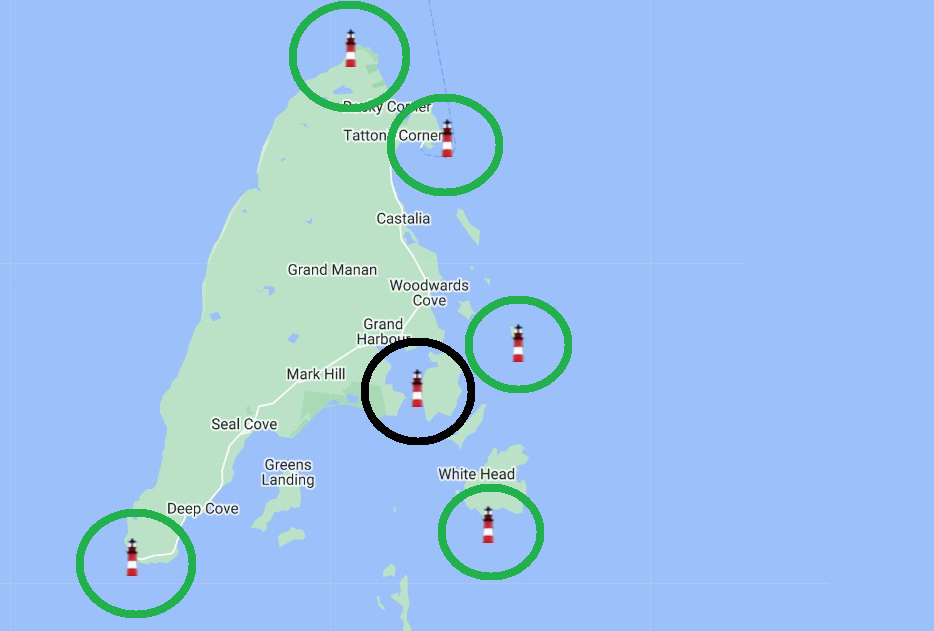
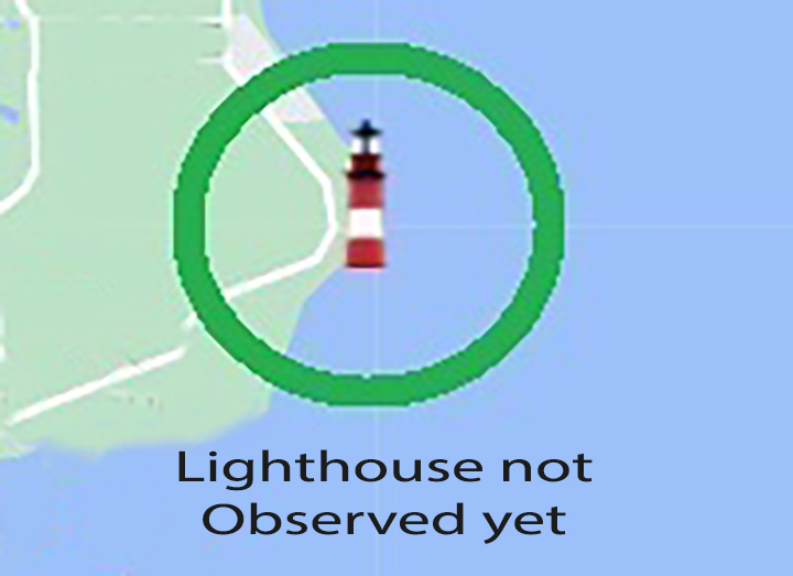
My personal map of New Brunswick with Green Circles of the Lighthouses I have visited and the one I didn’t visit yet in Red.
There are a few circled black that are no longer there.
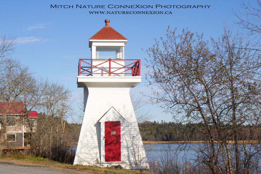
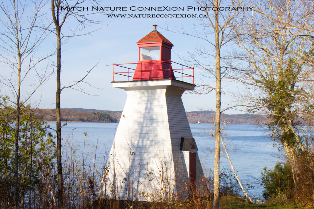
Anderson Hollow Lighthouse
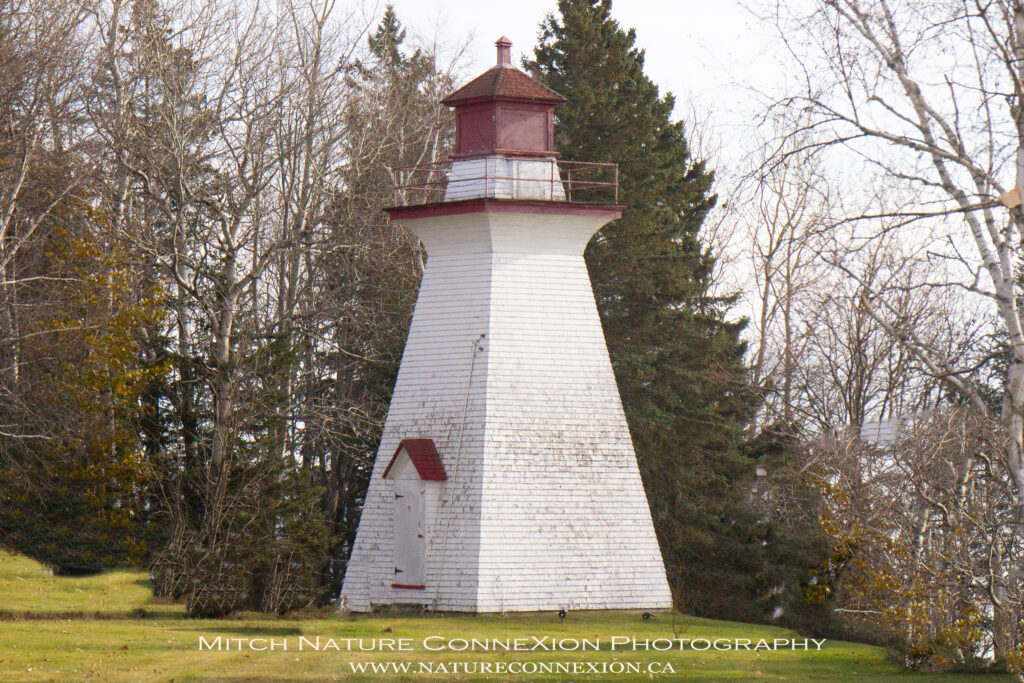
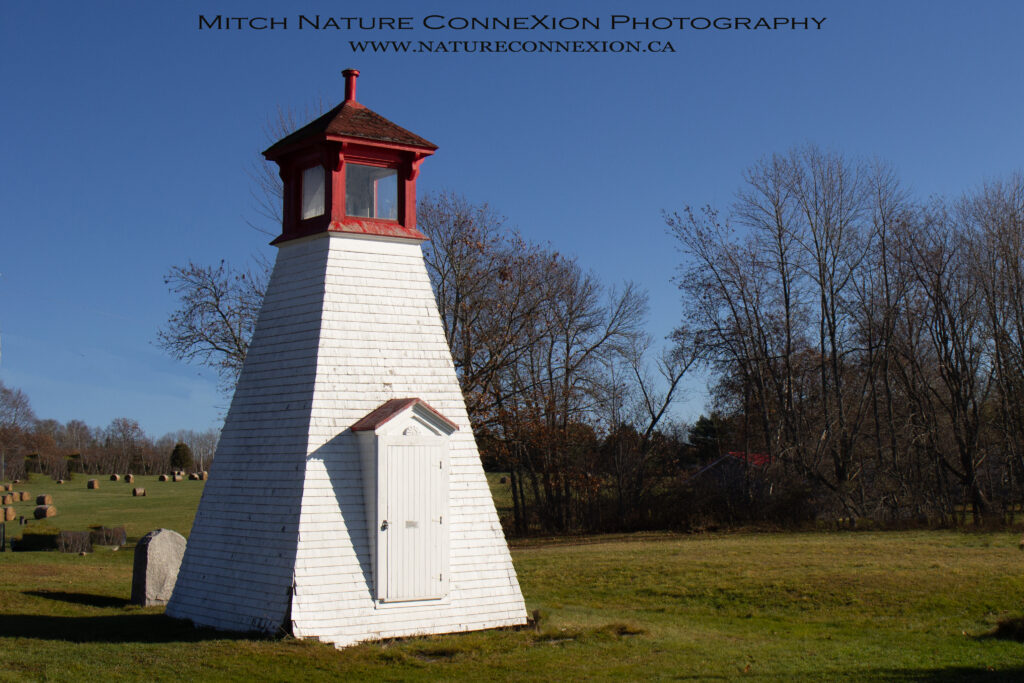
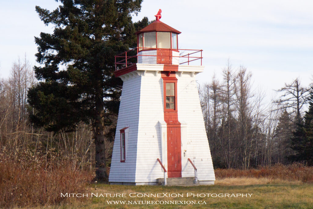
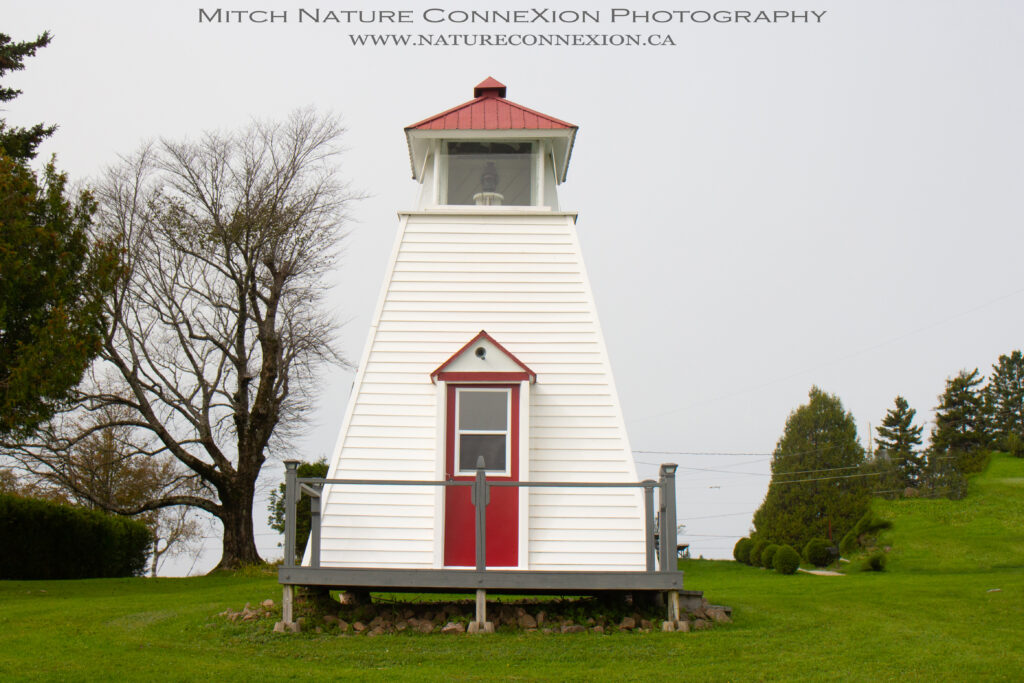
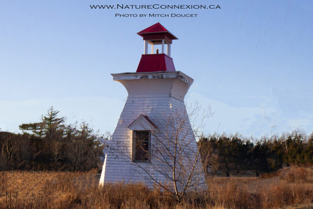
Anderson Hollow Lighthouse is unquestionably the most well-traveled lighthouse in New Brunswick. Originally located on shore near a long breakwater in the community of Waterside, the surviving lighthouse was preceded by two other towers that succumbed to the elements before this tower was built in 1903.
Location : 45.735180, -64.697280
Bas-de-L’Allée Rd Lighthouse
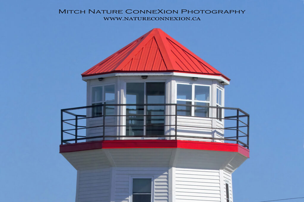
This was never a real lighthouse but it was built like a full size lighthouse and was just a store front in Richiboucto-Village.
Location : 46.669077, -64.752060
Bathurst Visitor Center Lighthouse
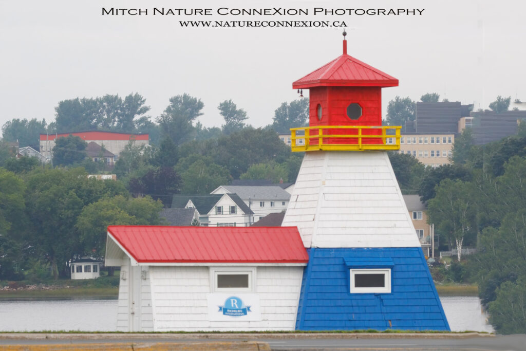
Lighthouse Visitor Information Center Promenade Waterfront Bathurst, New Brunswick, CA
Location : 47.621727, -65.659019
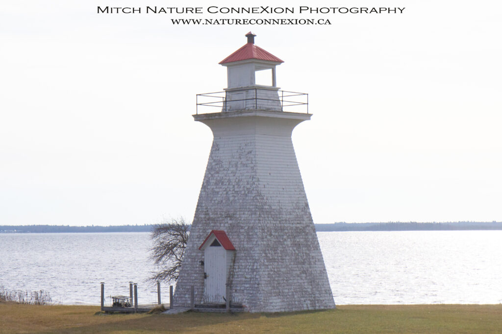
Bayswater Lighthouse and McColgan Point Lighthouse, separated by just 2.8 km (1.7 miles), were both built in 1913 by B.R. Palmer of Tennant’s Cove. While McColgan Point Lighthouse was originally equipped with a sixth-order lens, a fifth-order lens was used in Bayswater Lighthouse. The towers are nearly identical, but the contract price for Bayswater was $825, while McColgan was built for $700.
Location : 45.350547, -66.133361
Francois Guitard was the first settler to arrive in what is now Belledune on the Bay of Chaleur. Guitard fought under Napoleon in Italy and Egypt before he headed off to the New World in 1799. Other settlers arrived in the area following the Great Miramichi Fire of 1825, and it was around this time the name Belledune was attached to the region due to its pretty sand dunes.
Location : 47.958720, -66.142500
Many points along the Saint John River and its tributaries are named after the early owners of the land, and as lighthouses were built on these points, it was only natural that the landowners, in many cases the only residents living within miles of the site, were made the first keepers of the lights. This happened at Belyeas Point and at McColgan Point, Robertson Point, Cox Point, Fanjoys Point, Bridges Point, and Palmer’s Point.
Location : 45.378167, -66.216056
Beresford Beach
John Cormier St.
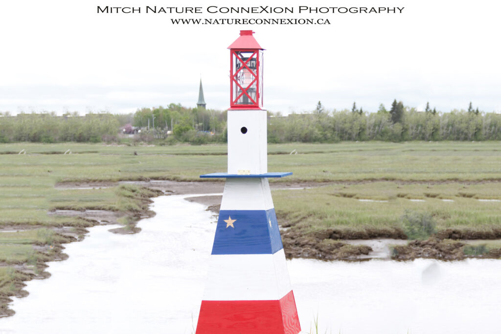
I built this little lighthouse on our cottage property at 776 John Cormier St. in Beresford. This is just met as a souvenir of our little cottage on the beach and all the memories we had over the years.
Location : 47.708412, -65.697125
In the parlance of the 1800s and early 1900s, gullies were narrow openings between barrier islands or between points of land, and were thus often places needing navigational aids so mariners could pass through them to reach safe harbour. Speaking of locations in New Brunswick that needed lighthouses, John Harding, agent of the Department of Marine at Saint John, wrote the following in his 1871 report.
Location : 47.722331, -64.660299
Black Point Lighthouse
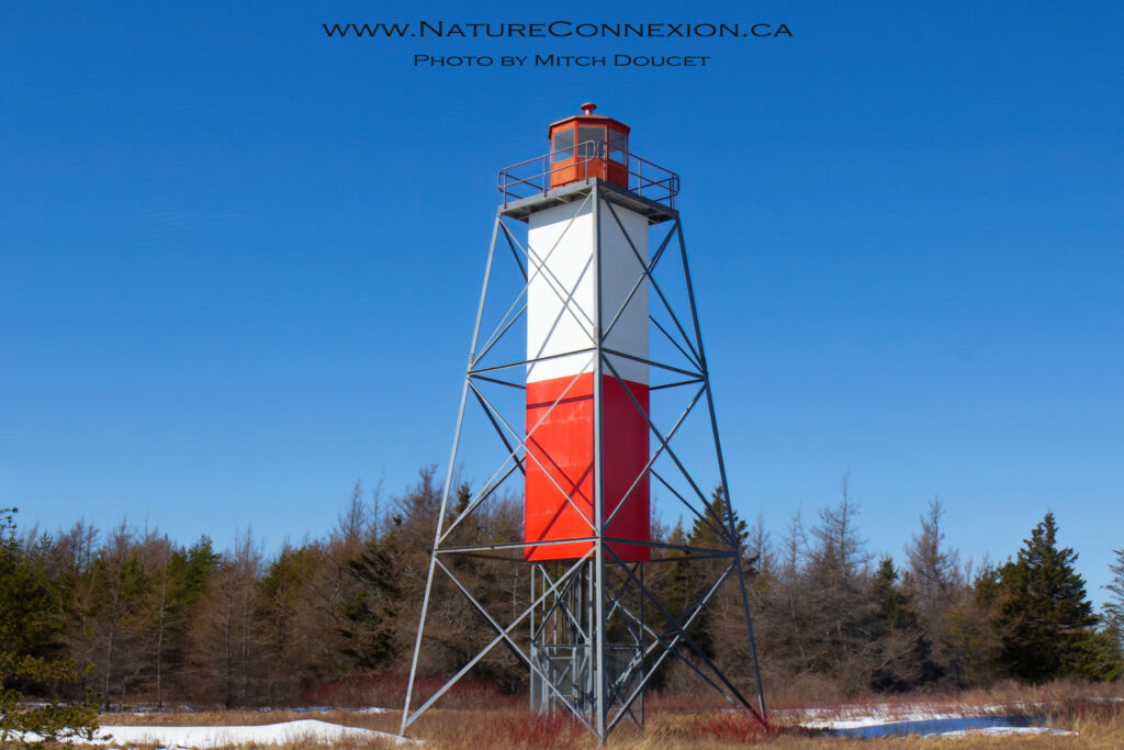
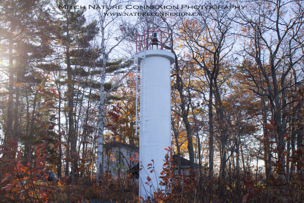
Black Point Lighthouse, a skeleton tower with an enclosed, square, central portion, was established in 1967. Although the tower may not be one of the more attractive lighthouses, it is the only one of its kind in New Brunswick and is still equipped with a fourth-order drum dioptric lens.
Formerly, the middle third of the square, central column was painted red, with the upper and lower thirds painted white. However, in 2009, the bottom third of the column’s enclosure was missing.
The tower is 17.7 m (58 feet) tall and displays a yellow light that has the following characteristic: 4 s on, 2 s off, 2 s on, 2 s off.
Location : 47.884389, -64.623611
Samuel Bliss, born in 1750 to the Reverend Daniel and Phebe Bliss, was making his living as a merchant in Greenfield, Massachusetts when he was banished from the colony by the Proscription Act of 1778 for being loyal to the crown. After fighting with the British Army in New York and New Jersey during the Revolutionary War, Samuel was rewarded in 1784 with 500 acres fronting the river in L’Etang, New Brunswick and later with a nearby large island that is still known as Bliss Island.
Location : 45.018090, -66.850610
Bouctouche Dune or Sandbar is connected to the mainland at a point roughly three-and-a-half miles north of Pointe à Jérôme and extends southeast for over seven miles, providing protection for the waters of Buctouche Bay. The southern tip of the sandbar lies about a mile off of Saint-Thomas-de-Kent, near where the Point Dixon Range Lights were established in 1881 to assist vessels in finding the entrance to the bay.
Location : 46.461146, -64.612430
In his 1871 report to the Minister of Marine and Fisheries, John H. Harding, Marine Agent at Saint John, noted that several localities in New Brunswick needed navigational aids. One of these was Caissie Point (listed in early reports as Cassie’s Point), where a lighthouse was then under construction.
Location : 46.319833, -64.512639
In 1985, the City of Campbellton received permission to occupy the land surrounding the Campbellton Range Rear Lighthouse and proceeded to incorporate the existing steel, skeletal tower into an octagonal lighthouse with an attached dwelling that operated as Campbellton Lighthouse Hostel part of Hostelling International, for many years.
Location : 48.010072, -66.672038
Richibucto, a Mi’kmaq word meaning river of fire, had been home to the Mi’kmaq, and Acadian and English settlers for many years, when in 1826 its residents decided to change the name to Liverpool.
Location : 46.669788, -64.711754
Cape Enrage is the southern tip of Barn Marsh Island, which is separated from the mainland by an easily passable, narrow tidal creek. The cape received its name due to a reef that extends seaward from the point and causes the surrounding waters to become violent or enraged during maximum tidal currents.
Location : 46.669788, -64.711754
Cape Jourimain is defined as the northern extremity of the Jourimain Islands, which are situated a few kilometers northwest of Cape Tormentine. The islands are linked together and with the mainland by sand bars and were considered navigational hazards being located at the narrowest part of Northumberland Strait, which separates New Brunswick and Prince Edward Island.
Location : 46.157527, -63.810230
In an 1870 Department of Marine report, John Harley, Inspector of Lights for New Brunswick, recommended that a lighthouse be placed on Cape Spencer, a prominent headland situated on the Bay of Fundy about nine miles southeast of Saint John.
Location : 45.195240, -65.909860
Cape Tormentine is the easternmost point in New Brunswick. The name is generally taken to embrace the entire projecting headland, but locally the term is applied to just the central portion, with the easterly end of the promontory called Indian Point and the westerly extreme Cape Jourimain.
Location : 46.135567, -63.774028
Caraquet Island is a small island, measuring 2.3 km long by roughly 400 metres wide, which parallels the coast near Middle Caraquet and provides protection for Caraquet Harbour. A combination lighthouse and dwelling, consisting of a rectangular, one-and-a-half-story dwelling with a square tower rising from one end of its pitched roof, was erected on the western end of the island in 1870 by Daly and Carter of Miramichi at a cost of $548..
Location : 47.822556, -64.904444
J. R. Chiasson was awarded a contract in 1902 for the construction of range lights to lead into the harbour at Lower Caraquet through Caraquet Channel. Mr. Chiasson, however, was unable to do the work, and John Kelly, Inspector of Lights, stepped in to see the towers completed and placed into operation on September 24, 1903.
Location : 47.808270, -64.840957
Both lighthouses are enclosed wooden towers, square in plan, with sloping sides and surmounted by square, wooden lanterns. The front tower stands close to the shore, measures thirty feet from its base to the top of the ventilator on its lantern, and originally displayed a fixed white light from a seventh-order lens at a focal plane of thirty-one feet.
Location : 47.804667, -64.8246480
On June 16, 1903, a fog bell was established on the southwest point of Cherry Island to assist mariners in locating the entrance to the St. Croix River. The bell surmounted a square, wooden tower, painted white, that stood seventeen feet tall. During thick or foggy weather, machinery would strike the bell two times in quick succession every six seconds.
Location : 44.918667, -66.966667
In the seventeenth century, Nicolas Denys, an explorer and colonizer in New France, left the following description of a harbour on the northeast coast of present-day New Brunswick: “Having passed a little island [Cocagne Island at the entrance to the harbour], one is well under shelter, and finds water enough.
Location : 46.333641, -64.625676
Work on the Courtenay Bay Breakwater was started sometime in the early twentieth century, and a 2,500-foot extension was completed in 1919. an unwatched, white light was established at the outer end of the breakwater to show the entrance to Courtenay Bay. A year later, the light was moved 150 feet shoreward and re-erected on the breakwater.
Location : 45.257261, -66.044970
Grand Lake, the largest freshwater lake in New Brunswick, is thirty miles long and varies between three to nine miles in width. Quite amazingly, the lake experiences a tide of roughly six inches caused by its connection to the Bay of Fundy through the 6.7-kilometre-long (4.1-mile-long) Jemseg River and Saint John River.
Location : 46.017400, -65.995500
In the 1870s, Dalhousie Harbour, primarily used by vessels taking on loads of timber, was defined on the east by Dalhousie (Douglas) Island and on the west by Montgomery (Rock) Island. Both of these islets were connected to the shore by a sandy spit and between them vessels could anchor in forty feet of water perfectly secure from all winds.
Location : 48.004200, -66.339200
This modern light doesn’t merit inclusion on an official lighthouse list, as it never had a keeper or an enclosed lantern room, but if you are on Deer Island, you might as well stop by for a close-up view of the tower. Just offshore from the light is the Old Sow, the largest tidal whirlpool in the western hemisphere.
Location : 44.925389, -66.984833
François and Charlitte LeBlanc arrived in what is now known as Bouctouche on June 24, 1785 and carved a cross in a great pine tree to mark the establishment of an Acadian village. The Mi’kmaq had previously named the area Chebooktoosk, meaning “great little harbour.” A corrupted version of this name,
Location : 46.457864, -64.651998 46.456922, -64.650990
Grand Lake is the largest freshwater lake in New Brunswick and drains into the Saint John River through the 6.7-kilometre-long (4.1-mile-long) Jemseg River. Six lights were established along the Saint John River between Saint John and Fredericton in 1869, but the next three lights to be established in the Saint John River watershed were along the shores of Grand Lake.
Location : 45.907800, -66.022800
The Village of Gagetown is situated on the west bank of the Saint John River, just above a point where the main branch of the river makes an almost 90° turn. Formerly named Grimrose, the village was home to Acadians, many of whom settled along the Saint John River during the Explusion of the Acadians.
Location : 45.768676, -66.140254
Named after the black and white gannets that formerly nested there, Gannet Rock lies eight miles south of Grand Manan Island and is one of a large number of rocks and ledges that litter the western side of the entrance to the Bay of Fundy. Murr Ledges, a cluster of navigational hazards, are found between Gannet Rock and Machias Seal Island, while a dangerous rock called the Old Proprietor is located seven miles northeast of Gannet Rock.
Location : 44.510253, -66.781285
To enter Inner Miramichi Bay, mariners pass between Portage Island and Fox Island, both of which were once home to lighthouses, and then continue west for thirteen miles before entering the Miramichi River. Roughly eight miles into the Inner Bay, vessels would pass between Grand Dune Island on their right and Point aux Carr on their left.
Location : 47.194476, -65.135153
Please note that this is not a historic lighthouse but was rather built as a visitor information center.
Location : 47.816339, -65.169140
The Miramichi River is the second longest river in New Brunswick after the Saint John River, and Miramichi, consisting of the forced amalgamation of Newcastle, Chatham, and several smaller communities, is the largest city in northern New Brunswick.
Location : 47.082525, -65.385733
Much of the history of the area centers on Beaubears Island, located where the Miramichi River divides into its northwest and southwest branches. The island was a meeting place for the Mi’kmaq, a tragic Acadian refugee camp, a thriving shipbuilding centre, and now a National Historic Site..
Location : 47.111937, -65.292606
The first permanent settlement in the Grand Manan Archipelago took place on tiny Ross Island, which is connected to the larger Grand Manan Island at low tide. Moses Gerrish led a group of fifty United Empire Loyalist families to the land on the eastern side of Grand Harbour in 1784 and named it Ross Island, in honor of Thomas Ross, a fellow settler, who had been a mariner at Falmouth, Maine and entered the West Indies trade after arriving on Grand Manan.
Location : 44.666883, -66.749153
In 1912, a wharf was built in Grande-Digue that measured 15 by 180 feet and was made up of six blocks. A thirty-foot-square pierhead block was placed at the extremity of the wharf, and on this a shed was constructed in 1915 by day labour under the direction of John Kelly for $263.42.
Location : 46.294260, -64.560986
Settlement of the Petitcoidac and Memramcook river valleys, situated at the head of the Bay of Fundy in present-day New Brunswick, began around 1700. In the late 1840s, Joseph Salter opened a shipyard in a community located at a 90° degree turn in the Petitcodiac River known as The Bend. The business thrived and soon employed over 1,000 workers, allowing The Bend to incorporate as Moncton in 1855.
Location : 45.038869, -66.891568
Settlement of the Petitcoidac and Memramcook river valleys, situated at the head of the Bay of Fundy in present-day New Brunswick, began around 1700. In the late 1840s, Joseph Salter opened a shipyard in a community located at a 90° degree turn in the Petitcodiac River known as The Bend. The business thrived and soon employed over 1,000 workers, allowing The Bend to incorporate as Moncton in 1855.
Location : 45.721776, -64.621024
In 1881, George Ingram erected range lights on Hay Island in Miramichi Bay to help vessels clear the point of a shoal off the east end of the island. The front light was a lantern hoisted atop a mast, while the rear light, located sixty-four metres from the front, was shown from a square, pyramidal tower with a height of 6.4 metres.
Location : 47.232588, -65.067774
Hampstead is located on the western shore of the Saint John River, north of Belle Isle Bay and south of Washademoak Lake. A cable ferry formerly operated at Hampstead, connecting with Wickham on the east shore, but this service was terminated in 2009.
Location : 45.625222, -66.084523
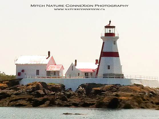
In early February 1829, the House of Assembly of New Brunswick appropriated £400 for “defraying the expense of building a Light House on the northern head of Campo Bello Island.” Work on Head Harbour Lighthouse soon commenced, and the light was placed in operation later that year with John Snell serving as its first keeper at an annual salary of £120.
Location : 44.957944, -66.900056
Washademoak Lake isn’t really a lake by most people’s definition but rather an expansion of the Saint John River or perhaps a fjord. The primary entrance to the lake lies between Hog Island to the south and on the north by the tip of a peninsula that extends from the mainland.
Location : 45.732745, -66.048421
Immigrants arriving from Scotland’s Isle of Arran named the point protruding eastward into Chaleur Bay at the mouth of the Restigouche River Inch Arran after their native island home. (Inch is Gaelic for Island.) Just offshore from the point are found Bon Ami Rocks, a chain of rocks named after Peter Bonami, an early settler of the area.
Location : 48.061840, -66.355640
Location : 48.060998, -66.351327
The 1917 edition of the St. Lawrence Pilot carried the following information for mariners sailing between Prince Edward Island and the coasts of New Brunswick and Nova Scotia. There are few places in which more care is required in navigation than in Northumberland Strait, which is 160 miles in length; and which, at Cape Tormentine, the narrowest part, is but 7 miles from shore to shore.
Location : 46.107900, -63.772900
Leonardville Lighthouse, a white square tower with sloping sides and a height of twenty-seven feet, was erected atop a cliff on the eastern shore of Deer Island in 1913 under contract by A.L. Mury of West Archichat at a contract price of $896. A lamp inside a sixth-order dioptric lens originally produced the light, which has a focal plane of fifty-nine feet above high water.
Location : 44.968222, -66.955111
Beaver Harbour was settled in 1783 by a group of Loyalists who fled the United States at the close of the Revolutionary War. By June 4, 1785, when the town was incorporated, there were 800 residents. A great fire in 1790 destroyed all but one home in the town, causing many of the original settlers to relocate elsewhere, but Beaver Harbour was slowly rebuilt over the ensuing years.
Location : 45.062972, -66.733056
On May 1, 1874, the following Notice to Mariners was issued:
Notice is hereby given, that a steam fog-whistle has been erected on the north-west head of Grand Manan, in the Bay of Fundy – latitude 44 47 9 N., longitude 66 45 7 W. The whistle is erected on the extreme north-west head of the island, and is elevated 80 feet above high water. In thick weather, fogs and snowstorms, it will be sounded, so as to give three blasts of four seconds duration in each minute, with an interval of sixteen seconds between each blast.
Location : 44.799278, -66.785222
With a population of roughly 200, White Head Island is the only other inhabited island in the Grand Manan Archipelago besides Grand Manan Island. Samuel de Champlain sought shelter at White Head Island during a storm in October of 1606, but permanent settlers would not arrive for two hundred more years.
Location : 44.613899, -66.709727
Located on the northeast side of Miramichi Bay, Neguac was settled by Jean Sovie in 1757, two years after the expulsion of the Acadians. For years, the village depended on fishing and forestry, and today oyster farming and lobster fishing are the main drivers of the local economy.
Location : 47.260909, -65.053890
As tiny Machias Seal Island is located roughly 19 km (12 miles) from the nearest points in the United States (Cutler, Maine) and Canada (Grand Manan Island), it is understandable that both countries have claimed sovereignty over the island. In terms of navigation, the island was more crucial to Canadian interests, as vessels bound to and from the important ports of Saint John and Saint Andrews frequently passed nearby, but the United States was reluctant to relinquish control of the associated prime fishing grounds.
Location : 44.501446, -67.100549
McColgan Point Lighthouse
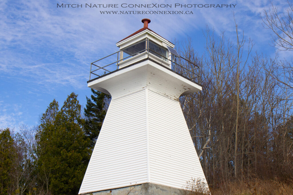
The wooden McColgan Point Lighthouse was constructed in 1913 by B.R. Palmer under a $700 contract to guide vessels along the narrow channel that runs between Kennebecasis Island and the Kingston Peninsula. The square tower with sloping sides was originally equipped with a sixth-order dioptric lens, and Samuel McColgan served as the first keeper of the light.
Location : 45.332222,-66.109556
In 1853, the Commissioners of Lights for the Gulf of Saint Lawrence promoted the need for a lighthouse on Birch Point, the northeast point of Miscou Island, where, they noted, shipping accidents occurred annually that likely could be prevented by a lighthouse.
Location : 48.009194, -64.493379
An appropriation was made by Parliament in 1882 for the construction of a lighthouse near the southern end of Campobello Island to guide vessels through Lubec Narrows, the small passage between the island and the United States mainland. After the exact site was selected and specifications prepared, tenders were invited for the work, and a contract for $790 was awarded to Angus Fisher of St. George in 1883
Location : 44.863132, -66.979673
Musquash is an archaic name for a muskrat and is derived from the Abenaki word mòoskwas. Musquash Harbour is located just a few kilometers west of Saint John, and in 2007, the Musquash Estuary, which extends from the mouth of the harbour to the head of tides on the east and west branches of the Musquash River, was declared New Brunswick’s first Marine Protected Area.
Location : 45.143687, -66.237359
Lower Musquash Island is an irregularly shaped island that encloses a freshwater lagoon of almost equal area with its land surface. The island is situated at the entrance to Washademoak Lake, which is not an actual lake but a broadening of the Saint John River.
Location : 45.707798, -66.066386
Oak Point is situated at the northern end of Long Reach, a wide, straight section of the Saint John River that runs along the west side of the Kingston Peninsula. Several islands, including Rush Island, Isle of Pines, Rocky Island, and Grassy Island, are found near Oak Point and present a series of obstacles for mariners navigating this stretch of the river.
Location : 45.507520, -66.080087
In 1869, two sets of range lights were established to guide vessels through Miramichi Bay and up the Miramichi River. The outermost set was placed at Oak Point, while the inner set was located at Grants Beach. The acquisition of the sites and construction of the lights cost $1,136.34, and the beacons were first exhibited on May 17, 1869.
Location : 47.050943, -65.468883
A committee was appointed by the House of Assembly of the Colony of New Brunswick in 1787 to find a proper place for a lighthouse at Saint John and to estimate the cost of its construction. The following year, the committee reported that it had selected Partridge Island, situated at the entrance to the inner harbour, as the most eligible site, and believed the lighthouse could be erected for £120..
Location : 45.239167, -66.053833
Paye de la Sagouine Lighthouse
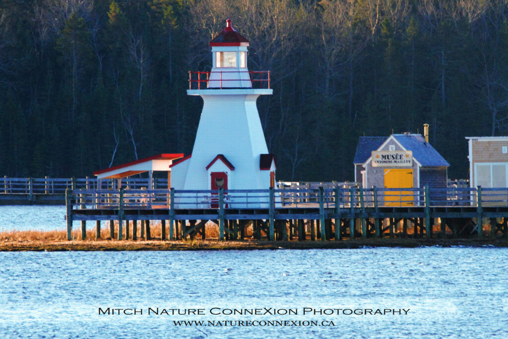
Breathe in the salty air of the Bouctouche Bay while strolling on the footbridge leading to l’Île-aux-Puces. Discover a world buzzing with endearing characters. Enjoy shows, music and theatre. Immerse yourself in the world of Nounours the Bear, with daily shows for children. Savour a bowl of fricot; a comforting chicken stew seasoned with savory. Satisfy your sweet tooth with a pet de sœur (nun’s fart)!.
Location : 46.464136, -64.718698
Pea Island, with a length of roughly 183 metres (200 yards) and a height of about 7 metres (25 feet), lies just offshore from the southern tip of Blacks Harbour Peninsula.
Location : 45.039109, -66.808387
Rockport Peninsula divides the northern extreme of the Bay of Fundy, located between New Brunswick and Nova Scotia, into two branches. The western branch is Shepody Bay, and the eastern Cumberland Basin.
Location : 45.759400, -64.488850
Point Escuminac is an important location on New Brunswick’s northeast coast, as it marks the southern entrance to Miramichi Bay, and, along with North Point on Prince Edward Island, the northern entrance to Northumberland Strait. The name Escuminac is derived from a Mi’kmaq word meaning “watching place” or “look-out place.”
Location : 47.072920, -64.797860
Situated roughly midway between Saint John and Saint Andrews, Point Lepreau juts some distance south into the Bay of Fundy, presenting a significant obstacle for coastwise shipping. The name of this feature, one of the most prominent along the Bay of Fundy, is likely a corruption of an early French designation, lapereau, meaning “little rabbit.”
Location : 45.058821, -66.458526
Pointe Sapin was originally known as Point-aux-Sapins, presumably due to the presence of fir (sapin) trees. Attracted by rich fisheries and fertile soil, settlers arrived in Pointe Sapin in 1860. The surnames of these pioneers included Daigle and Robichaud, names which are carved into a good share of the tombstones in the local cemetery.
Location : 46.963865, -64.830179
A set of skeletal range lights was established at Pointe à Brideau in 1978. Several years later, the Town of Caraquet developed their beach area around the rear range tower. Unimpressed with the Coast Guard’s skeletal rear range tower, the town received permission to construct a “wrapper” around the tower. The resulting lighthouse, built in 1991, is an accurate representation of historic range towers built under the Department of Marine.
Location : 47.794789, -64.942310
Pointe à Jérôme, Pointe à Jacquot, and Dixon Point are three fingers of land that jut out into Bouctouche Bay and were among the first sites to be settled in the area. Pointe à Jacquot was home to Bouctouche’s first Roman Catholic Church. The church burned down in 1921, but the associated convent now serves as the Kent County Museum, and the rectory/manse is now operated as Auberge le Vieux Presbytère.
Location : 46.486630, -64.678820
Although Shediac is known today as “The Lobster Capital of the World,” it has been home to many industries through the years that exploited the protected waters of Shediac Bay. New Brunswick’s first sawmill was built in 1820 on the Scoudouc River, which empties into Shediac Bay, and two decades later fifteen mills were operating near Shediac and exporting several million feet of lumber to Europe each year.
Location : 46.240722, -64.511694
Pointe du Chene Wharf Lighthouse
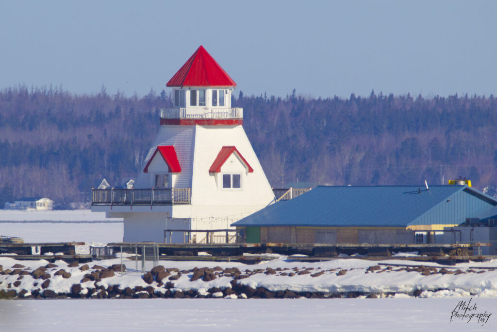
The point du Chene Wharf lighthouse is located at the end of the Wharf.
Location : 46.241889, -64.530152
For mariners, two barrier islands border the main entrance to Inner Miramichi Bay: Portage Island to the north and Fox Island to the south. Work on a square lighthouse commenced on the southern end of Portage Island in September of 1869 to mark this important passage, and the tower’s light was first exhibited on October 6th of that year.
Location : 47.747983, -64.709008
Loyalists fleeing the thirteen colonies during the American Revolution settled many communities in New Brunswick including St. Martins. Previously named Quaco, a derivative of a Micmac word meaning “haunt of the hooded seal,” St. Martins was the third largest shipbuilding center in New Brunswick in the 1800s, when over 500 vessels were launched there.
Location : 45.324104, -65.535294
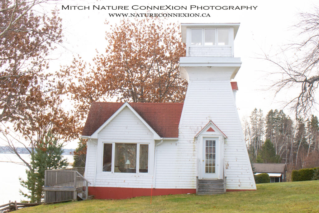
The wooden, octagonal lighthouse at Renforth Cove was built in the 1980s as a private navigational aid.
Location : 45.357660, -66.014378
Although Reed’s Point Light may not qualify as a formal lighthouse, it is far too interesting an aid to navigation not to include. The original light at this location, erected in 1842, was a single iron post and was positioned to line up with the steeple of Trinity Church to help guide ships into the harbour at night.
Location : 45.267125, -66.060426
Grand Lake is the largest freshwater lake in New Brunswick and drains into the Saint John River through the 6.7-kilometre-long (4.1-mile-long) Jemseg River. Six lights were established along the Saint John River between Saint John and Fredericton in 1869, but the next three lights to be established in the Saint John River watershed were along the shores of Grand Lake.
Location : 45.872200, -66.103000
Built in 1983 to display the lantern room from the 1883 Quaco Head Lighthouse and to serve as a Visitor Information Center in St. Martins. Visitors can climb to the lantern for a 360° view of the harbour and two historic covered bridges; all three structures are incorporated into a lovely park setting.
Location : 45.359619, -65.532637
One of two notable faux lighthouses in New Brunswick, this imitation octagonal wooden tower was built in 1985 by employees of the adjacent Coast Guard base. It is equipped with the 1911 lantern from Grindstone Island and an operational fourth-order Fresnel lens from Brier Island Nova Scotia.
Location : 45.359619, -65.532637
The Saint John River was given its name by Samuel de Champlain in 1604, as he arrived at the river’s mouth on that saint’s feast day, June 24. The river has its origins in Maine and Quebec, and from there, water travels 673 km (418 miles) before reaching the Bay of Fundy.
Location : 45.342611, -66.198833
John H. Harding, agent of the Department of Marine for New Brunswick, visited Grand Manan in 1876 and reported that a lighthouse was needed on the island’s southwest point to serve as a guide in approaching the island and to assist vessels passing up and down the North Channel of the Bay of Fundy. A contract for the lighthouse was awarded in 1878 to Angus W. Fisher, who sent his master builder, B. J. Austin, and seven workmen to the site.
Location : 44.600810, -66.905500
In 1853, thirty inhabitants of St. Andrews, including several mariners and pilots, submitted a petition to the House of Assembly of New Brunswick calling for the establishment of a lighthouse on White Horse Island, located off the northern tip of Campobello.
Location : 44.936611, -66.733194
Constructed in 1833, St. Andrews Lighthouse is the oldest remaining mainland lighthouse in New Brunswick and is commonly referred to as Pendlebury Lighthouse, the name of the family that tended the light for almost 100 years (from the 1840s to the 1930s).
Location : 45.068444, -67.047801
Swallowtail Lighthouse and the surrounding buildings and peninsula are owned by the Village of Grand Manan and managed by the Swallowtail Keepers Society. Still an active aid to navigation, Swallowtail is much more than this. Swallowtail is held dear by islanders and visitors alike, not only for the lighthouse but for the majestic marine vista it affords.
Location : 44.764141, -66.732794
Swift Point Light was one of six beacons erected in 1869 along the Saint John River between Fredericton and Saint John. The cost of constructing the lights, including the lighting apparatuses, was $2,342, with the sites costing an additional $600 or so. The original Saint John River Lights were placed in operation on August 20, 1869, with John Nelson Williams serving as the first keeper at Swift Point.
Location : 45.282420, -66.121330
Tabusintac Gully Lighthouse
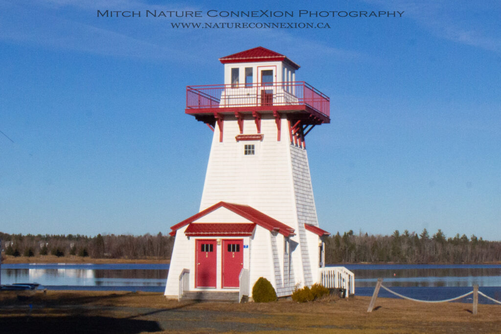
The Tabusintac Lighthouse is a faux lighthouse, It functions as an interpretive centre for the area and visitors can climb the tower to view the estuary. While there was once an actual light in the Tabusintac area in the early 1900’s known as the Tabusintac Gully Lighthouse, it is not known if this faux light is close to the location of the original lighthouse.
Location : 47.331148, -65.008958
In 1894 a large hotel was opened near the community of Long Reach in a sub-community called “The Cedars” due to the large cedar trees gracing the nearby shores of the Saint John River. Several years later it was decided that a proper lighthouse should replace the existing mast and shed light located just down river at Williams Landing.
Location : 45.478433, -66.082705
A string of islands runs across the mouth of Miramichi Bay. Fox Island, which is just over eight kilometres long but only about 500 metres wide, is the southernmost of these islands and lies just south of Portage Island. Two separate light stations once stood on Fox Island. In 1862, a pair of beacon lights was established near the northwest tip of Fox Island along with a keeper’s dwelling.
Location : 47.128478, -65.042088
